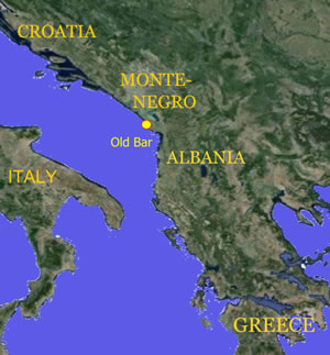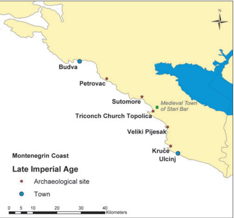
Montenegrin coast in the Late Imperial Age. Main Archeological Sites. (Sauro Gelici)

Old Bar (Republic of Montenegro) is located in the south-eastern part of the Adriatic coast, beneath the large massif of Mount Rumija (1,593 m). It was constructed approximately 4 km from the sea and differs from other towns on the coast of Montenegro mainly because of its unique position. The natural foundation on which it was built consists of a vast rocky massif, inaccessible from the east and south, whereas to the west and north-west there are gentle slopes, which create a suitable terrain for the construction of walls and residential buildings. It encompasses an area of 4 ha in a very drainable area rather well protected from the northern wind.
From its most protruding plateau, Londza (Turkish for meeting place), the town offers a perfect view of a part of the port, and almost the whole of Bar Plain. It is partly covered by St. Vido's (Sveti Vic) Hill, which provides a natural cover when viewed from the sea.
The reason for its existence on a large limestone rock, apart from the favourable strategic and climatic conditions, was also the town`s natural supply of fresh water. There is enough fresh water in the Bunar River, which flows beneath the town.
The good transport connections of the Old Town of Bar, a remarkable geo-strategic position and bio-ecological conditions have influenced the development of the town's urbanization and architecture, as well as its commercial, cultural and spiritual activities.

